Data Story
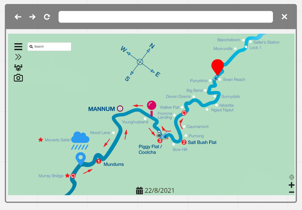
Our data story starts in the northernmost limits of the Murray Darling River Basin along the Queensland and New South Wales border. Then it jumps southward to the intersection of three states in the heart of Australian agricultural country. Then it moves upstream along the Murray River and becomes more detailed - telemetry data from sensor buoys is collected, analysed, and crosslinked with water markets data, rainfall data, and irrigation. It finishes in the upper catchment above the Hume Dam, in the southern end of the Great Dividing Range, where in 2019 dams ran dry, and wildfires ripped through the area destroying crops, livestock, and livelihoods.


